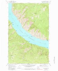
1968 Map of Big Goat Mtn
USGS Topo · Published 1984About this map
Lake Chelan dominates this 1960s landscape, its waters reaching a normal pool elevation of 1098 as it cuts through the heart of the Wenatchee National Forest. Access to this stretch of the lake is defined by the ferry route, which connects remote landmarks like Graham Harbor and Safety Harbor. The topography is marked by steep peaks such as Uno Peak and Big Goat Mtn, with narrow drainages like Lune Fir Creek and Big Goat Creek feeding into the lake.
Find a feature on this map
35 named features on this map. Tap any name to fly to it.
Don’t see what you’re looking for? This feature index may not catch every label — zoom into the map to look around manually.
Map Details
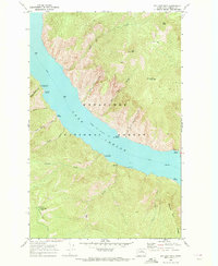
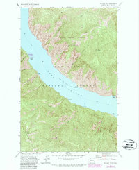
Editions of this 1968 Big Goat Mtn Map
3 editions found
Other maps of this area

1899 · Methow
USGS Topo · 1:125,000

1901 · Chelan
USGS Topo · 1:125,000

1901 · Methow
USGS Topo · 1:125,000

1901 · Chiwaukum
USGS Topo · 1:125,000

1902 · Stehekin
USGS Topo · 1:125,000

1904 · Stehekin
USGS Topo · 1:125,000

1904 · Chiwaukum
USGS Topo · 1:125,000

1944 · Lucerne
USGS Topo · 1:62,500

1949 · Lucerne
USGS Topo · 1:62,500

1955 · Concrete
USGS Topo · 1:250,000