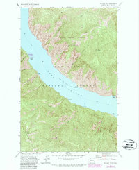
1968 Map of Big Goat Mtn
USGS Topo · Published 1987About this map
Lake Chelan dominates this mid-century survey, its waters reaching a normal pool elevation of 1098 feet as they cut through the steep peaks of the Chelan Mts. This remote section of the Wenatchee National Forest is defined by its water-access geography, where a ferry route serves as the primary artery connecting isolated landing points and recreation sites. The map documents numerous shoreline facilities, including Graham Harbor Creek Campground, Corral Creek Campground, and Big Creek Campground, highlighting the area's development for backcountry use prior to the late 1980s revisions. High-altitude landmarks like Big Goat Mtn, Uno Peak, and the Lake Chelan Sawtooth Wilderness tower over the narrow fjord-like lake, while curiously named features such as Point No Point and Nobby Creek provide unique navigational reference points for this stretch of the Chelan drainage.
Find a feature on this map
36 named features on this map. Tap any name to fly to it.
Don’t see what you’re looking for? This feature index may not catch every label — zoom into the map to look around manually.
Map Details
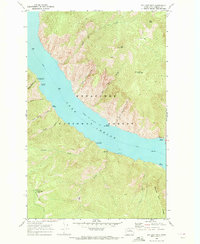
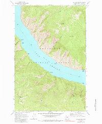
Editions of this 1968 Big Goat Mtn Map
3 editions found
Other maps of this area

1899 · Methow
USGS Topo · 1:125,000

1901 · Chelan
USGS Topo · 1:125,000

1901 · Methow
USGS Topo · 1:125,000

1901 · Chiwaukum
USGS Topo · 1:125,000

1902 · Stehekin
USGS Topo · 1:125,000

1904 · Stehekin
USGS Topo · 1:125,000

1904 · Chiwaukum
USGS Topo · 1:125,000

1944 · Lucerne
USGS Topo · 1:62,500

1949 · Lucerne
USGS Topo · 1:62,500

1955 · Concrete
USGS Topo · 1:250,000