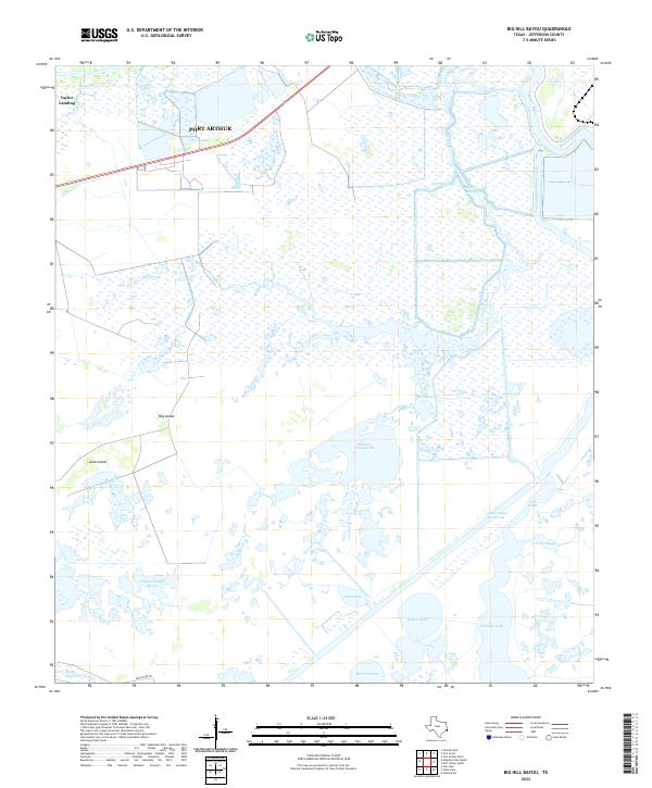
2022 Map of Big Hill Bayou
USGS Topo · Published 2022About this map
The low-lying wetlands of Jefferson County define this coastal landscape, where the southern reaches of Port Arthur meet an intricate network of marshes and waterways. The map illustrates the heavy influence of water management and commerce on the region, featuring the engineered path of the Intracoastal Waterway and the Taylor Bayou Outfall Canal. These man-made features cut through natural formations like Hog Island and Gum Island, which emerge as distinct high points within the saturated terrain of Willow Slough Marsh.
Find a feature on this map
20 named features on this map. Tap any name to fly to it.
Don’t see what you’re looking for? This feature index may not catch every label — zoom into the map to look around manually.
Map Details
Editions of this 2022 Big Hill Bayou Map
This is the sole edition of this map. No revisions or reprints were ever made.
Other maps of this area

1943 · Port Arthur North
USGS Topo · 1:24,000

1943 · Port Arthur South
USGS Topo · 1:24,000

1943 · Fannett East
USGS Topo · 1:24,000

1944 · Sabine Pass
USGS Topo · 1:31,680

1945 · Fannett East
USGS Topo · 1:31,680

1950 · Houston
USGS Topo · 1:250,000

1954 · Port Arthur
USGS Topo · 1:250,000

1956 · Houston
USGS Topo · 1:250,000
1956 · Port Arthur
USGS Topo · 1:250,000
1957 · Sabine Pass
USGS Topo · 1:62,500