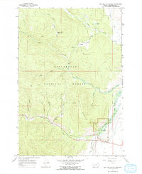
1966 Map of Big Hole Battlefield
USGS Topo · Published 1970About this map
Battle Mountain dominates this mid-century topographic survey of the Beaverhead region, where the steep terrain and winding watercourses define the historic landscape. The map centers on the Big Hole National Battlefield, preserving the layout of the site including the Howitzer Pit. Along the North Fork Big Hole River, evidence of past industry remains visible through the presence of Dredge Tailings, suggesting the area's legacy of alluvial mining.
Find a feature on this map
27 named features on this map. Tap any name to fly to it.
Don’t see what you’re looking for? This feature index may not catch every label — zoom into the map to look around manually.
Map Details
Editions of this 1966 Big Hole Battlefield Map
2 editions found
Other maps of this area

1955 · Dillon
USGS Topo · 1:250,000

1957 · Dillon
USGS Topo · 1:250,000

1958 · Dillon
USGS Topo · 1:250,000

1962 · Dillon
USGS Topo · 1:250,000

1965 · Dillon
USGS Topo · 1:250,000

1966 · Gibbons School
USGS Topo · 1:24,000

1966 · Big Hole Battlefield
USGS Topo · 1:24,000

1966 · Big Hole Pass
USGS Topo · 1:24,000
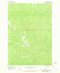
1966 · Elk Creek
USGS Topo · 1:24,000
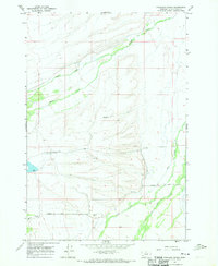
1966 · Highland Ranch
USGS Topo · 1:24,000