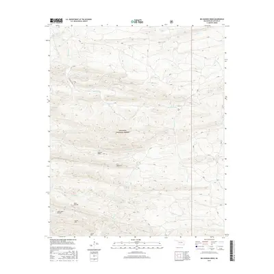
2016 Map of Big Hudson Creek
USGS Topo · Published 2016About this map
Ouachita National Forest covers this McCurtain County landscape, where the Pine Mountains and Slapover Ridge dominate a terrain of deep drainages and isolated peaks. This 2016 survey documents a dense network of forest service roads, such as 24250 and 28000, which provide the primary access to the interior of these highlands. Water sources are frequent but localized, including the Pine Mountain Spring and numerous named tributaries like Big Hudson Cr and Robinson Cr. The area is characterized by its dramatic elevation changes, notably at White Oak Mtn and Little White Oak Mtn. These ridges and creeks, such as Mine Cr and Buffalo Creek, represent a modern view of a managed wilderness area where the topographic structure dictates the path of both the waterways and the sparse human infrastructure.
Find a feature on this map
38 named features on this map. Tap any name to fly to it.
Don’t see what you’re looking for? This feature index may not catch every label — zoom into the map to look around manually.
Map Details
Editions of this 2016 Big Hudson Creek Map
This is the sole edition of this map. No revisions or reprints were ever made.
Other maps of this area

1902 · Lukfata
USGS Topo · 1:125,000

1913 · De Queen
USGS Topo · 1:125,000

1950 · Mcalester
USGS Topo · 1:250,000

1959 · Cove
USGS Topo · 1:62,500

1959 · Broken Bow
USGS Topo · 1:62,500

1960 · Smithville
USGS Topo · 1:62,500

1962 · McAlester
USGS Topo · 1:250,000

1965 · McAlester
USGS Topo · 1:250,000
1966 · De Queen NW
USGS Topo · 1:24,000
1976 · Broken bow NE
USGS Topo · 1:24,000