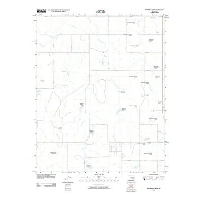
2010 Map of Big Kiowa Creek
USGS Topo · Published 2010About this map
Washita River flows across the northern reaches of this western Oklahoma landscape, defining a drainage system dominated by an extensive network of flood control structures. The terrain is deeply marked by the numerous impoundments along White Shield Creek, Big Kiowa Creek, and Sandstone Creek, reflecting a highly managed hydrological environment designed to mitigate erosion and runoff in this prairie region. Scattered across the rural sections are several historic burial grounds, including Red Hill Cemetery in the northeast and Kiowa Cemetery near the center, which provide essential markers for genealogical research in Roger Mills County. The grid-like road system, featuring routes like N2000 Rd and E0980 Rd, connects these isolated landmarks through the breaks and valleys carved by Little Kiowa Creek and Wildcat Creek.
Find a feature on this map
52 named features on this map. Tap any name to fly to it.
Don’t see what you’re looking for? This feature index may not catch every label — zoom into the map to look around manually.
Map Details
Editions of this 2010 Big Kiowa Creek Map
This is the sole edition of this map. No revisions or reprints were ever made.
Other maps of this area

1955 · Clinton
USGS Topo · 1:250,000

1957 · Clinton
USGS Topo · 1:250,000

1960 · Cheyenne
USGS Topo · 1:62,500

1960 · Sayre
USGS Topo · 1:62,500

1960 · Hammon
USGS Topo · 1:62,500

1961 · Elk City
USGS Topo · 1:62,500

1984 · Foss Reservoir
USGS Topo · 1:100,000

1985 · Elk City
USGS Topo · 1:100,000

1987 · Big Kiowa Creek
USGS Topo · 1:24,000

1987 · Elk City
USGS Topo · 1:24,000