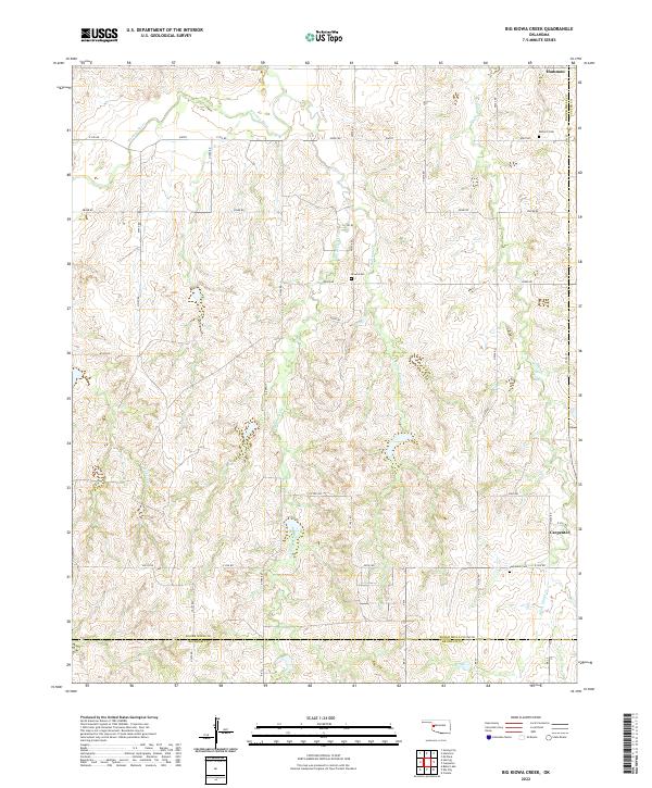
2022 Map of Big Kiowa Creek
USGS Topo · Published 2022About this map
The Washita River winds through the northern reaches of this western Oklahoma landscape, a region defined by its deeply incised drainage systems and agricultural section lines. This 2022 survey captures the rural character of Roger Mills County, centered on the drainage of Big Kiowa Cr and its tributaries, including Little Kiowa Cr and White Shield Cr. The township of Hammon occupies the northeastern corner at the border of Custer County, while the small community of Carpenter sits to the southeast near the Beckham County line.
Find a feature on this map
33 named features on this map. Tap any name to fly to it.
Don’t see what you’re looking for? This feature index may not catch every label — zoom into the map to look around manually.
Map Details
Editions of this 2022 Big Kiowa Creek Map
This is the sole edition of this map. No revisions or reprints were ever made.
Other maps of this area

1955 · Clinton
USGS Topo · 1:250,000

1957 · Clinton
USGS Topo · 1:250,000

1960 · Cheyenne
USGS Topo · 1:62,500

1960 · Sayre
USGS Topo · 1:62,500

1960 · Hammon
USGS Topo · 1:62,500

1961 · Elk City
USGS Topo · 1:62,500

1984 · Foss Reservoir
USGS Topo · 1:100,000

1985 · Elk City
USGS Topo · 1:100,000

1987 · Big Kiowa Creek
USGS Topo · 1:24,000

1987 · Elk City
USGS Topo · 1:24,000