
1958 Map of Big Lake
USGS Topo · Published 1960About this map
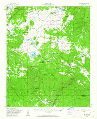
Boardman Ranch and a series of family-named holdings like Phelps Ranch and Thompson Ranch anchor this mid-century portrait of the High Country. Situated within the Apache National Forest, the landscape is defined by the headwaters of the Little Colorado River and the Black River, featuring a dense network of forest camps such as Big Lake Forest Camp and Buffalo Crossing Forest Camp.
Find a feature on this map
81 named features on this map. Tap any name to fly to it.
Don’t see what you’re looking for? This feature index may not catch every label — zoom into the map to look around manually.
Map Details
Editions of this 1958 Big Lake Map
4 editions found
Other maps of this area

1886 · St Johns
USGS Topo · 1:250,000

1892 · St Johns
USGS Topo · 1:250,000

1922 · Nutrioso
USGS Topo · 1:125,000

1954 · Clifton
USGS Topo · 1:250,000

1954 · Saint Johns
USGS Topo · 1:250,000

1957 · Clifton
USGS Topo · 1:250,000

1957 · Saint Johns
USGS Topo · 1:250,000

1958 · Clifton
USGS Topo · 1:250,000

1958 · Saint Johns
USGS Topo · 1:250,000

1958 · Alpine
USGS Topo · 1:62,500