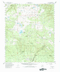
1958 Map of Big Lake
USGS Topo · Published 1984About this map
The Apache National Forest and the eastern edge of the Fort Apache Indian Reservation dominate this mid-century landscape, centered on the high-elevation waters of Big Lake. The map reveals a robust network of forest infrastructure, including several established recreational sites like Big Lake Forest Camp and Diamond Rock Forest Camp. Fire prevention and management are evident through the Big Lake Knoll Lookout and the Pat Knoll Guard Sta, while the presence of the Voigt Ranch, Phelps Ranch, and P S Ranch indicates the region's enduring ranching legacy. The hydrology is complex, defined by the East Fork Black River and the West Fork Black River, which converge at Three Forks. This area, mapped from 1950 aerial photography, showcases a terrain of volcanic knolls like Wahl Knoll and Pat Knoll interspersed with mountain springs and drainage draws.
Find a feature on this map
106 named features on this map. Tap any name to fly to it.
Don’t see what you’re looking for? This feature index may not catch every label — zoom into the map to look around manually.
Map Details
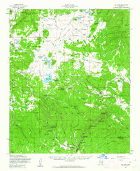
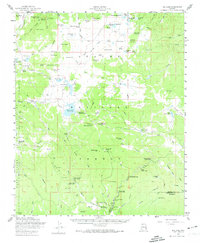
Editions of this 1958 Big Lake Map
4 editions found

Other maps of this area

1886 · St Johns
USGS Topo · 1:250,000

1892 · St Johns
USGS Topo · 1:250,000

1922 · Nutrioso
USGS Topo · 1:125,000

1954 · Clifton
USGS Topo · 1:250,000

1954 · Saint Johns
USGS Topo · 1:250,000

1957 · Clifton
USGS Topo · 1:250,000

1957 · Saint Johns
USGS Topo · 1:250,000

1958 · Clifton
USGS Topo · 1:250,000

1958 · Saint Johns
USGS Topo · 1:250,000

1958 · Alpine
USGS Topo · 1:62,500