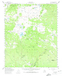
1958 Map of Big Lake
USGS Topo · Published 1974About this map
The Apache Indian Reservation and Apache National Forest meet in this mid-century survey of the Arizona high country. A network of ranching and forestry outposts defines the landscape, anchored by the Phelps Ranch, Thompson Ranch, and Reservation Ranch. The presence of several distinct encampments, such as Church Camp and Big Lake Forest Camp, suggests a region transitioning into a hub for summer recreation and religious retreats.
Find a feature on this map
106 named features on this map. Tap any name to fly to it.
Don’t see what you’re looking for? This feature index may not catch every label — zoom into the map to look around manually.
Map Details
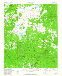
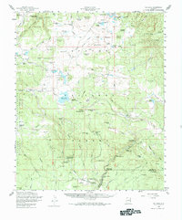
Editions of this 1958 Big Lake Map
4 editions found

Other maps of this area

1886 · St Johns
USGS Topo · 1:250,000

1892 · St Johns
USGS Topo · 1:250,000

1922 · Nutrioso
USGS Topo · 1:125,000

1954 · Clifton
USGS Topo · 1:250,000

1954 · Saint Johns
USGS Topo · 1:250,000

1957 · Clifton
USGS Topo · 1:250,000

1957 · Saint Johns
USGS Topo · 1:250,000

1958 · Clifton
USGS Topo · 1:250,000

1958 · Saint Johns
USGS Topo · 1:250,000

1958 · Alpine
USGS Topo · 1:62,500