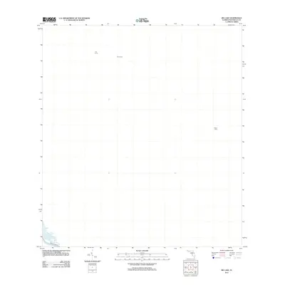
2012 Map of Big Lake
USGS Topo · Published 2012About this map
Indian Camp and Trap Camp sit in the northern reaches of this Florida interior, a landscape defined by its relative isolation in the early twenty-first century. This region of Palm Beach County shows very little in the way of permanent infrastructure, save for Brown's Farm Rd tracing the southwestern corner of the sheet. The presence of isolated outposts like Edgars Camp suggests a pattern of land use centered on seasonal activities or specialized resource management rather than dense residential development. The map serves as a record of this largely undeveloped territory, where the grid of the survey is the most prominent human mark on the land.
Find a feature on this map
4 named features on this map. Tap any name to fly to it.
Don’t see what you’re looking for? This feature index may not catch every label — zoom into the map to look around manually.
Map Details
Editions of this 2012 Big Lake Map
This is the sole edition of this map. No revisions or reprints were ever made.
Other maps of this area

1945 · Greenacres City
USGS Topo · 1:24,000

1946 · West Dixie Bend
USGS Topo · 1:24,000

1947 · Delmar Farms
USGS Topo · 1:24,000

1949 · West Dixie Bend
USGS Topo · 1:24,000

1949 · Delmar Farms
USGS Topo · 1:24,000

1950 · Greenacres City
USGS Topo · 1:24,000

1956 · West Palm Beach
USGS Topo · 1:250,000

1957 · West Palm Beach
USGS Topo · 1:250,000

1958 · West Palm Beach
USGS Topo · 1:250,000
1962 · West Dixie Bend
USGS Topo · 1:24,000