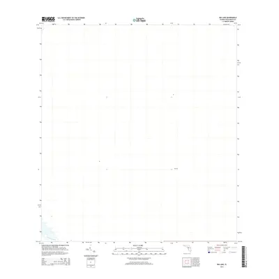
2015 Map of Big Lake
USGS Topo · Published 2015About this map
The Big Lake area of Palm Beach County is defined by its expansive, low-lying landscape near the southern terminus of Florida's inland water management systems. A key feature of this 2015 survey is the Hillsboro Canal, a major drainage artery that cuts across the southwest corner of the map. This infrastructure, typical of the regional efforts to manage the Everglades ecosystem, dictates the orientation of local roads and land boundaries. The map reflects a sparsely developed territory where natural hydrography and engineered channels are the primary landmarks, showing the modern state of land use in this specific interior section of the county.
Find a feature on this map
2 named features on this map. Tap any name to fly to it.
Don’t see what you’re looking for? This feature index may not catch every label — zoom into the map to look around manually.
Map Details
Editions of this 2015 Big Lake Map
This is the sole edition of this map. No revisions or reprints were ever made.
Other maps of this area

1945 · Greenacres City
USGS Topo · 1:24,000

1946 · West Dixie Bend
USGS Topo · 1:24,000

1947 · Delmar Farms
USGS Topo · 1:24,000

1949 · West Dixie Bend
USGS Topo · 1:24,000

1949 · Delmar Farms
USGS Topo · 1:24,000

1950 · Greenacres City
USGS Topo · 1:24,000

1956 · West Palm Beach
USGS Topo · 1:250,000

1957 · West Palm Beach
USGS Topo · 1:250,000

1958 · West Palm Beach
USGS Topo · 1:250,000
1962 · West Dixie Bend
USGS Topo · 1:24,000