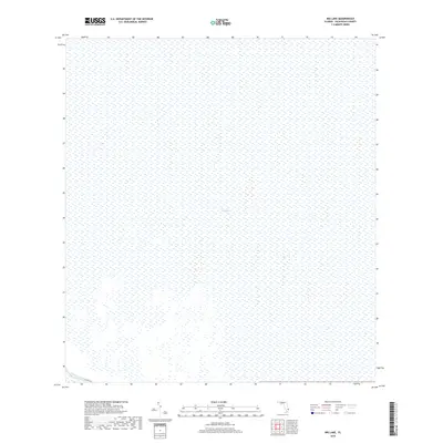
2018 Map of Big Lake
USGS Topo · Published 2018About this map
The Everglades dominates this 2018 survey, reflecting the immense wetland interior of Palm Beach County. The landscape is characterized by its vast, uniform hydrology and specific vegetation patterns typical of this conservation region. Running along the southwestern corner, the Hillsboro Canal provides a stark linear contrast to the natural topography, serving as a primary water management artery. Parallel to this waterway, Co Hwy 827 offers the only significant road access into this section of the glades, marking the edge where civil engineering meets the protected wilderness of south Florida.
Find a feature on this map
3 named features on this map. Tap any name to fly to it.
Don’t see what you’re looking for? This feature index may not catch every label — zoom into the map to look around manually.
Map Details
Editions of this 2018 Big Lake Map
This is the sole edition of this map. No revisions or reprints were ever made.
Other maps of this area

1945 · Greenacres City
USGS Topo · 1:24,000

1946 · West Dixie Bend
USGS Topo · 1:24,000

1947 · Delmar Farms
USGS Topo · 1:24,000

1949 · West Dixie Bend
USGS Topo · 1:24,000

1949 · Delmar Farms
USGS Topo · 1:24,000

1950 · Greenacres City
USGS Topo · 1:24,000

1956 · West Palm Beach
USGS Topo · 1:250,000

1957 · West Palm Beach
USGS Topo · 1:250,000

1958 · West Palm Beach
USGS Topo · 1:250,000
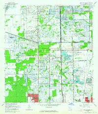
1962 · West Dixie Bend
USGS Topo · 1:24,000