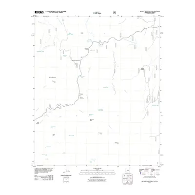
2011 Map of Big Lue Mountains
USGS Topo · Published 2011About this map
The Big Lue Mountains dominate this high-desert landscape in Grant County, where water management is the primary driver of human infrastructure. This 2011 survey illustrates a region defined by its ranching and recreational use, centering on the Big Lue Ranch and several functional outposts like Juniper Corral and West Coal Creek Corral. The network of namesake tanks—such as Old Collett Tank, Hardluck Tank, and Maverick Tank—points to the critical importance of moisture retention for livestock and wildlife in the arid terrain.
Find a feature on this map
48 named features on this map. Tap any name to fly to it.
Don’t see what you’re looking for? This feature index may not catch every label — zoom into the map to look around manually.
Map Details
Editions of this 2011 Big Lue Mountains Map
This is the sole edition of this map. No revisions or reprints were ever made.
Other maps of this area

1910 · Mogollon
USGS Topo · 1:125,000

1912 · Mogollon
USGS Topo · 1:125,000

1913 · Morenci
USGS Topo · 1:125,000

1915 · Morenci
USGS Topo · 1:125,000

1954 · Silver City
USGS Topo · 1:250,000

1954 · Clifton
USGS Topo · 1:250,000

1957 · Clifton
USGS Topo · 1:250,000

1958 · Silver City
USGS Topo · 1:250,000

1958 · Clifton
USGS Topo · 1:250,000

1959 · Steeple Rock
USGS Topo · 1:62,500