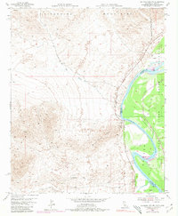
1954 Map of Big Maria Mts NE
USGS Topo · Published 1980About this map
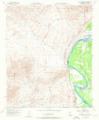
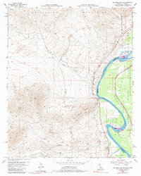
The Colorado River serves as the focal point of this 1954 survey, defining the border between California and Arizona. The eastern bank is dominated by the Colorado River Indian Reservation and the fertile Parker Valley, while the western landscape is shaped by the desert peaks of the Riverside Mountains and the Big Maria Mountains. A small settlement at Water Wheel Camp marks a point of human activity along the river's edge, reflecting the mid-century river-focused recreation and residency in this arid region.
Find a feature on this map
14 named features on this map. Tap any name to fly to it.
Don’t see what you’re looking for? This feature index may not catch every label — zoom into the map to look around manually.
Map Details
Editions of this 1954 Big Maria Mts NE Map
6 editions found
Other maps of this area

1911 · Parker
USGS Topo · 1:125,000

1931 · Moon Mtn
USGS Topo · 1:62,500

1932 · Moon Mtn
USGS Topo · 1:62,500

1942 · Blythe
USGS Topo · 1:250,000

1942 · MOON MTN
USGS Topo · 1:62,500

1943 · Parker
USGS Topo · 1:62,500

1943 · Vidal
USGS Topo · 1:62,500

1945 · Big Maria Mtns
USGS Topo · 1:62,500

1949 · Parker
USGS Topo · 1:62,500

1949 · Vidal
USGS Topo · 1:62,500