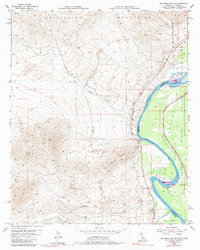
1954 Map of Big Maria Mts. NE
USGS Topo · Published 1987About this map
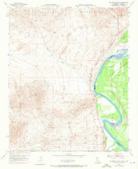
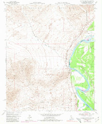
The Colorado River snakes along the state line between California and Arizona, carving a fertile corridor through the arid basin. To the east, the Colorado River Indian Reservation occupies the productive flats of Parker Valley, where the green vegetation contrasts sharply with the neighboring desert. On the western bank, the Big Maria Mountains and Riverside Mountains dominate the horizon, their stark desert slopes broken by drainage systems like Big Wash and Slaughter Tree Wash. This mid-century survey captures a landscape of transit and river life, featuring the Old Blythe-Vidal Road and small riverfront outposts such as Water Wheel Camp. The map provides a look at the shifting river morphology, specifically around Hall Island, where the border between Riverside and Yuma counties follows the meandering watercourse.
Find a feature on this map
13 named features on this map. Tap any name to fly to it.
Don’t see what you’re looking for? This feature index may not catch every label — zoom into the map to look around manually.
Map Details
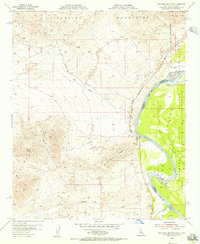
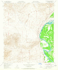
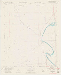
Editions of this 1954 Big Maria Mts. NE Map
6 editions found
Other maps of this area

1911 · Parker
USGS Topo · 1:125,000

1931 · Moon Mtn
USGS Topo · 1:62,500

1932 · Moon Mtn
USGS Topo · 1:62,500

1942 · Blythe
USGS Topo · 1:250,000

1942 · MOON MTN
USGS Topo · 1:62,500

1943 · Parker
USGS Topo · 1:62,500

1943 · Vidal
USGS Topo · 1:62,500

1945 · Big Maria Mtns
USGS Topo · 1:62,500

1949 · Parker
USGS Topo · 1:62,500

1949 · Vidal
USGS Topo · 1:62,500