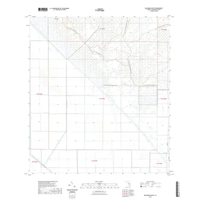
2021 Map of Big Mound South
USGS Topo · Published 2021About this map
Big Mound rises above a highly structured landscape of drainage and preservation in this section of Palm Beach County. The northern half of the map is dominated by the J W Corbett Wildlife Management Area Trl, where a network of trails navigates through extensive wetlands. This area contrasts sharply with the southern portion, which is defined by the rigid geometry of the Big Mound Canal and its intersection with the larger West Palm Beach Canal. The infrastructure reflects a sophisticated water management system that transformed the Florida interior. Along the southern boundary, historic routes like Old Conners Rd meet the emerging residential grid of streets such as Dennis St and 208th Dr, marking the boundary between the managed wilderness and expanding rural development.
Find a feature on this map
17 named features on this map. Tap any name to fly to it.
Don’t see what you’re looking for? This feature index may not catch every label — zoom into the map to look around manually.
Map Details
Editions of this 2021 Big Mound South Map
This is the sole edition of this map. No revisions or reprints were ever made.
Other maps of this area

1956 · West Palm Beach
USGS Topo · 1:250,000

1957 · West Palm Beach
USGS Topo · 1:250,000

1958 · West Palm Beach
USGS Topo · 1:250,000

1970 · West Palm Beach 2 SW
USGS Topo · 1:24,000

1970 · Loxahatchee NW
USGS Topo · 1:24,000
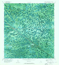
1970 · West Palm Beach 2 NE
USGS Topo · 1:24,000

1970 · Bryant
USGS Topo · 1:24,000

1970 · Sixmile Bend
USGS Topo · 1:24,000
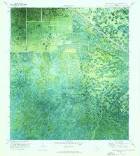
1970 · West Palm Beach 2 NW
USGS Topo · 1:24,000
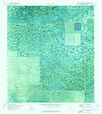
1971 · West Palm Beach 2 SE
USGS Topo · 1:24,000