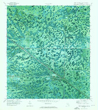
1970 Map of West Palm Beach 2 NE
USGS Topo · Published 1976About this map
The boundary between Martin Co and Palm Beach Co cuts across a landscape dominated by the wetland mosaics of the Corbett State Wildlife Management Area. This 1970 orthophotomap provides a unique visual record of the region's transition from undeveloped swamplands to localized industrial and utility infrastructure. The Seaboard Coast Line railroad runs diagonally through the terrain, serving as a primary corridor for human activity alongside a major Pipeline.
Find a feature on this map
13 named features on this map. Tap any name to fly to it.
Don’t see what you’re looking for? This feature index may not catch every label — zoom into the map to look around manually.
Map Details
Editions of this 1970 West Palm Beach 2 NE Map
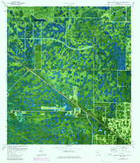
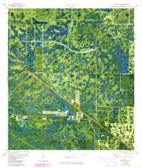
Other maps of this area

1945 · Delta
USGS Topo · 1:24,000

1948 · Rood
USGS Topo · 1:24,000

1948 · Gomez
USGS Topo · 1:24,000

1949 · Rood
USGS Topo · 1:24,000

1949 · Gomez
USGS Topo · 1:24,000

1950 · Delta
USGS Topo · 1:24,000

1953 · Indian Town SE
USGS Topo · 1:24,000

1953 · Indian Town
USGS Topo · 1:24,000

1956 · West Palm Beach
USGS Topo · 1:250,000

1956 · Fort Pierce
USGS Topo · 1:250,000