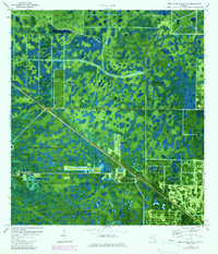
1970 Map of West Palm Beach 2 NE
USGS Topo · Published 1984About this map
Industrial facilities and conservation lands dominate this orthophotomap of the Florida interior during the 1970s and early 1980s. The landscape is defined by the extensive Pratt-Whitney Wildlife Refuge and the W Corbett Wildlife Management Area, showing a terrain saturated with wetlands and small water bodies. Infrastructure cuts through this natural expanse, specifically the Seaboard railroad line and a prominent Pipeline.
Find a feature on this map
15 named features on this map. Tap any name to fly to it.
Don’t see what you’re looking for? This feature index may not catch every label — zoom into the map to look around manually.
Map Details
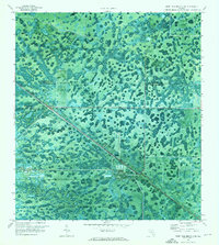
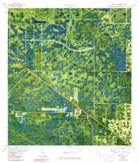
Editions of this 1970 West Palm Beach 2 NE Map
Other maps of this area

1945 · Delta
USGS Topo · 1:24,000

1948 · Rood
USGS Topo · 1:24,000

1948 · Gomez
USGS Topo · 1:24,000

1949 · Rood
USGS Topo · 1:24,000

1949 · Gomez
USGS Topo · 1:24,000

1950 · Delta
USGS Topo · 1:24,000

1953 · Indian Town SE
USGS Topo · 1:24,000

1953 · Indian Town
USGS Topo · 1:24,000

1956 · West Palm Beach
USGS Topo · 1:250,000

1956 · Fort Pierce
USGS Topo · 1:250,000