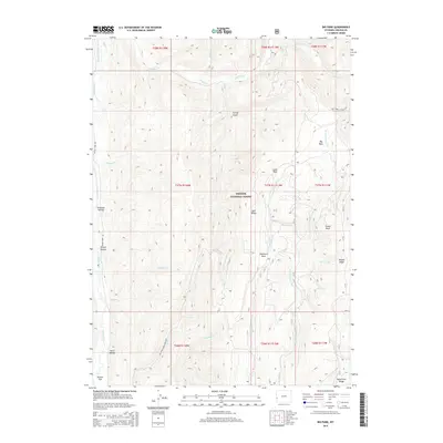
2015 Map of Big Park
USGS Topo · Published 2015About this map
Bridger National Forest defines this high-elevation landscape in Lincoln County, where the Tunp Range separates the drainage of the Smiths Fork from the headwaters of the Hams Fork. The terrain is a network of named clearings and high basins, including Big Park, Little Park, and the distinctively named Japanese Park. Several deeply cut drainages provide access to the interior, with family-named or descriptive landmarks like Preacher Hollow, Bloom Hollow, and Twiss Hollow indicating a history of seasonal use and exploration in these western Wyoming uplands.
Find a feature on this map
41 named features on this map. Tap any name to fly to it.
Don’t see what you’re looking for? This feature index may not catch every label — zoom into the map to look around manually.
Map Details
Editions of this 2015 Big Park Map
This is the sole edition of this map. No revisions or reprints were ever made.
Other maps of this area

1936 · Cokeville
USGS Topo · 1:96,000

1942 · Cokeville
USGS Topo · 1:125,000

1955 · Preston
USGS Topo · 1:250,000

1958 · Preston
USGS Topo · 1:250,000

1962 · Preston
USGS Topo · 1:250,000
1967 · Pole Creek
USGS Topo · 1:24,000

1967 · Devils Hole Creek
USGS Topo · 1:24,000

1967 · Graham Peak
USGS Topo · 1:24,000

1967 · Big Park
USGS Topo · 1:24,000

1967 · Huff Lake
USGS Topo · 1:24,000