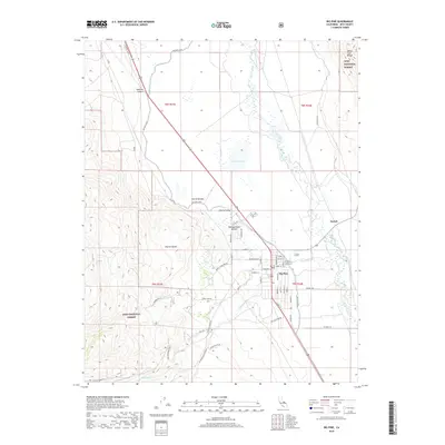
2018 Map of Big Pine
USGS Topo · Published 2018About this map
Big Pine serves as the central hub of this eastern California landscape, where the flat floor of the Owens Valley meets the rising slopes of the Sierra Nevada and the White-Inyo Range. The map reveals a sophisticated water management system vital to this arid region, featuring the extensive Big Pine Canal, the Rawson Canal, and the Collins Canal. These man-made waterways parallel the natural course of the Owens River and Klondike Lake, illustrating the historic dependency of local settlements on diverted mountain runoff.
Find a feature on this map
59 named features on this map. Tap any name to fly to it.
Don’t see what you’re looking for? This feature index may not catch every label — zoom into the map to look around manually.
Map Details
Editions of this 2018 Big Pine Map
This is the sole edition of this map. No revisions or reprints were ever made.
Other maps of this area

1913 · Bishop
USGS Topo · 1:125,000

1947 · Mariposa
USGS Topo · 1:250,000

1948 · Mariposa
USGS Topo · 1:250,000

1949 · Bishop
USGS Topo · 1:62,500

1950 · Big Pine
USGS Topo · 1:62,500

1951 · Bishop
USGS Topo · 1:62,500

1951 · Blanco Mountain
USGS Topo · 1:62,500

1951 · Waucoba Mtn.
USGS Topo · 1:62,500

1957 · Mariposa
USGS Topo · 1:250,000
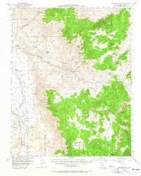
1958 · Waucoba Mtn
USGS Topo · 1:62,500