
1950 Map of Big Pine
USGS Topo · Published 1952About this map
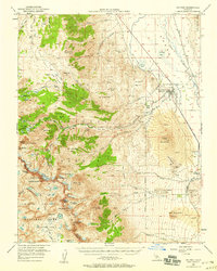
Big Pine serves as the focal point of this Eastern Sierra landscape, situated at the junction of the Owens River and the steep eastern escarpment. The settlement pattern reflects the area's complex 1950s economy, from the Big Pine Rancheria and County Farm to the heavy industrial infrastructure of the Southern Pacific rail line and the Big Pine Canal. To the west, the terrain rises sharply toward the High Sierra, where the John Muir Trail traverses high mountain passes like Mather Pass and Southfork Pass. The map documents early-century resource extraction with Blue Star Mines and various unnamed mines and prospects tucked into canyons like Shannon Canyon. This transition from the irrigated valley floor to the glaciated peaks of Kings Canyon National Park showcases a landscape defined by water management and alpine recreation during the post-war era.
Find a feature on this map
86 named features on this map. Tap any name to fly to it.
Don’t see what you’re looking for? This feature index may not catch every label — zoom into the map to look around manually.
Map Details
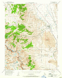
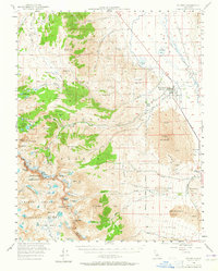
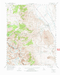
Editions of this 1950 Big Pine Map
5 editions found
Other maps of this area

1903 · Tehipite
USGS Topo · 1:125,000

1905 · Tehipite
USGS Topo · 1:125,000

1907 · Mt. Whitney
USGS Topo · 1:125,000

1912 · Mt. Goddard
USGS Topo · 1:125,000

1913 · Bishop
USGS Topo · 1:125,000

1919 · Mt. Whitney
USGS Topo · 1:125,000

1937 · Mt. Whitney
USGS Topo · 1:125,000

1947 · Mariposa
USGS Topo · 1:250,000

1948 · Fresno
USGS Topo · 1:250,000

1948 · Mariposa
USGS Topo · 1:250,000