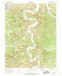
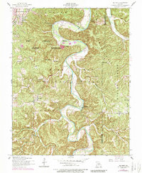
1954 Map of Big Piney
USGS Topo · Published 1971About this map
The Big Piney River carves a winding path through the Ozark landscape of Pulaski and Phelps counties, defining the boundary between military and natural lands in the mid-1950s. To the northwest, the Fort Leonard Wood Military Reservation covers a significant portion of the terrain, while the Mark Twain National Forest dominates the southern reaches. This era shows a community deeply connected to the river and ridges, with family-named landmarks like Ramsey Cem, Watts Cem, and Bradford Cem providing valuable points of reference for genealogists.
Find a feature on this map
41 named features on this map. Tap any name to fly to it.
Don’t see what you’re looking for? This feature index may not catch every label — zoom into the map to look around manually.
Map Details
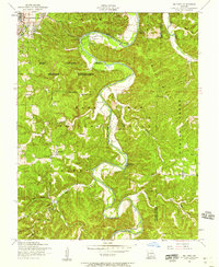
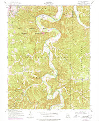
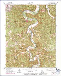
Editions of this 1954 Big Piney Map
6 editions found
Other maps of this area

1912 · Rolla
USGS Topo · 1:62,500

1936 · Waynesville
USGS Topo · 1:48,000

1937 · Edgar Springs
USGS Topo · 1:48,000

1941 · Big Piney
USGS Topo · 1:62,500

1942 · Waynesville
USGS Topo · 1:62,500

1943 · Big Piney
USGS Topo · 1:62,500

1944 · Waynesville
USGS Topo · 1:62,500

1945 · Edgar Springs
USGS Topo · 1:62,500

1949 · Rolla
USGS Topo · 1:250,000
1950 · Kaintuck Hollow
USGS Topo · 1:24,000