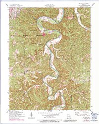
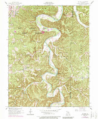
1954 Map of Big Piney
USGS Topo · Published 1981About this map
The Big Piney River meanders sharply through the Ozarks, carving a deep landscape where the Fort Leonard Wood Military Reservation meets the northern reaches of the Mark Twain National Forest. This terrain is defined by its dramatic bends and named hollows, including Mc Courtney Hollow and Watts Hollow. The map reveals a mid-century rural infrastructure of river crossings and small community hubs like Big Piney and Duke. Traces of local history are preserved in family-named landmarks such as Ramsey Cem near the river's edge and the Democrat School on Democrat Ridge. Military use is evident in the northern sections, where a pumping station and Post golf course sit within the reservation boundary, while the river's recreational character appears at Happy Hollow Beach.
Find a feature on this map
31 named features on this map. Tap any name to fly to it.
Don’t see what you’re looking for? This feature index may not catch every label — zoom into the map to look around manually.
Map Details
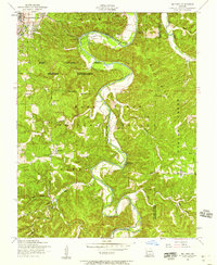
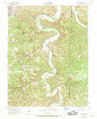
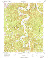
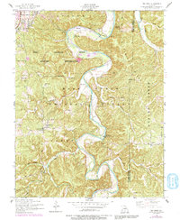
Editions of this 1954 Big Piney Map
6 editions found
Other maps of this area

1912 · Rolla
USGS Topo · 1:62,500

1936 · Waynesville
USGS Topo · 1:48,000

1937 · Edgar Springs
USGS Topo · 1:48,000

1941 · Big Piney
USGS Topo · 1:62,500

1942 · Waynesville
USGS Topo · 1:62,500

1943 · Big Piney
USGS Topo · 1:62,500

1944 · Waynesville
USGS Topo · 1:62,500

1945 · Edgar Springs
USGS Topo · 1:62,500

1949 · Rolla
USGS Topo · 1:250,000
1950 · Kaintuck Hollow
USGS Topo · 1:24,000