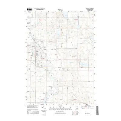
2014 Map of Big Rapids
USGS Topo · Published 2014About this map
The Muskegon River anchors this detailed study of the region surrounding Big Rapids, where the waterway winds south toward Rogers Dam Pond. The landscape is a complex network of glacial kettle lakes and streams, including Youngs Lake, Townline Lake, and Clear Lake, interspersed with rural farm roads like 16 Mile Rd and Wilson Rd. Within the city limits, the campus of Ferris State Univ sits prominently near the riverbank, alongside established landmarks such as Highland View Cem and the Roben-Hood Airport.
Find a feature on this map
81 named features on this map. Tap any name to fly to it.
Don’t see what you’re looking for? This feature index may not catch every label — zoom into the map to look around manually.
Map Details
Editions of this 2014 Big Rapids Map
This is the sole edition of this map. No revisions or reprints were ever made.
Other maps of this area

1954 · Midland
USGS Topo · 1:250,000

1958 · Midland
USGS Topo · 1:250,000

1958 · Woodville
USGS Topo · 1:62,500

1958 · Big Rapids
USGS Topo · 1:62,500

1959 · Midland
USGS Topo · 1:250,000

1959 · Evart
USGS Topo · 1:62,500

1959 · Reed City
USGS Topo · 1:62,500

1966 · Midland
USGS Topo · 1:250,000

1976 · Big Rapids SE
USGS Topo · 1:24,000

1976 · Evart SW
USGS Topo · 1:24,000