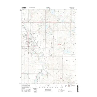
2017 Map of Big Rapids
USGS Topo · Published 2017About this map
Big Rapids serves as the focal point of this Mecosta County landscape, situated along a prominent bend of the Muskegon River. The city's layout is defined by its educational and transportation infrastructure, notably the campus of Ferris State Univ and the Roben-Hood Airport to the northwest. A significant recreational corridor, the Fred Meijer White Pine Trail State Park, follows a former rail alignment through the heart of the community and south toward Rogers Dam Pond, illustrating the region's transition from an industrial timber-and-rail hub to a modern center for education and outdoor recreation.
Find a feature on this map
88 named features on this map. Tap any name to fly to it.
Don’t see what you’re looking for? This feature index may not catch every label — zoom into the map to look around manually.
Map Details
Editions of this 2017 Big Rapids Map
This is the sole edition of this map. No revisions or reprints were ever made.
Other maps of this area

1954 · Midland
USGS Topo · 1:250,000

1958 · Midland
USGS Topo · 1:250,000

1958 · Woodville
USGS Topo · 1:62,500

1958 · Big Rapids
USGS Topo · 1:62,500

1959 · Midland
USGS Topo · 1:250,000

1959 · Evart
USGS Topo · 1:62,500

1959 · Reed City
USGS Topo · 1:62,500

1966 · Midland
USGS Topo · 1:250,000

1976 · Big Rapids SE
USGS Topo · 1:24,000

1976 · Evart SW
USGS Topo · 1:24,000