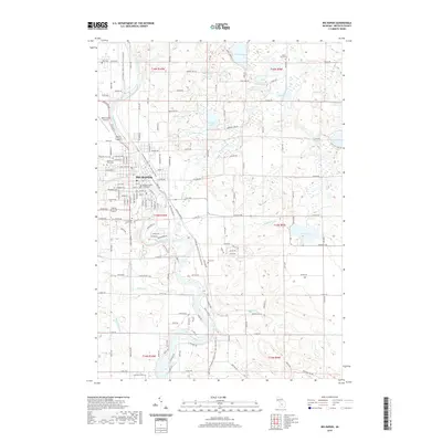
2019 Map of Big Rapids
USGS Topo · Published 2019About this map
The Muskegon River meanders through the heart of Big Rapids, providing the geographic anchor for this Mecosta County hub. The urban center is defined by institutional anchors including the Ferris State University campus and the Mecosta County Courthouse. To the north, the landscape transitions into a mosaic of glacial water bodies like Rose Lake, Townline Lake, and Alma Lake, which drain through systems like Ryan Creek and Higginson Cr.
Find a feature on this map
94 named features on this map. Tap any name to fly to it.
Don’t see what you’re looking for? This feature index may not catch every label — zoom into the map to look around manually.
Map Details
Editions of this 2019 Big Rapids Map
This is the sole edition of this map. No revisions or reprints were ever made.
Other maps of this area

1954 · Midland
USGS Topo · 1:250,000

1958 · Midland
USGS Topo · 1:250,000

1958 · Woodville
USGS Topo · 1:62,500

1958 · Big Rapids
USGS Topo · 1:62,500

1959 · Midland
USGS Topo · 1:250,000

1959 · Evart
USGS Topo · 1:62,500

1959 · Reed City
USGS Topo · 1:62,500

1966 · Midland
USGS Topo · 1:250,000

1976 · Big Rapids SE
USGS Topo · 1:24,000

1976 · Evart SW
USGS Topo · 1:24,000