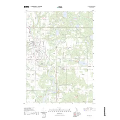
2023 Map of Big Rapids
USGS Topo · Published 2023About this map
Big Rapids sits at the heart of this survey, where the Muskegon River makes its prominent southward bend through the center of the county. The settlement is defined by its institutional and civic foundations, notably the sprawling campus of Ferris State University and the Mecosta County Courthouse. The urban grid is dense with residential streets like Seneca Ave and Tomahawk Ln, while Roben-Hood Airport marks the northwestern edge of the city limits.
Find a feature on this map
93 named features on this map. Tap any name to fly to it.
Don’t see what you’re looking for? This feature index may not catch every label — zoom into the map to look around manually.
Map Details
Editions of this 2023 Big Rapids Map
This is the sole edition of this map. No revisions or reprints were ever made.
Other maps of this area

1954 · Midland
USGS Topo · 1:250,000

1958 · Midland
USGS Topo · 1:250,000

1958 · Woodville
USGS Topo · 1:62,500

1958 · Big Rapids
USGS Topo · 1:62,500

1959 · Midland
USGS Topo · 1:250,000

1959 · Evart
USGS Topo · 1:62,500

1959 · Reed City
USGS Topo · 1:62,500

1966 · Midland
USGS Topo · 1:250,000

1976 · Big Rapids SE
USGS Topo · 1:24,000

1976 · Evart SW
USGS Topo · 1:24,000