
1984 Map of Big Rapids
USGS Topo · Published 1984About this map
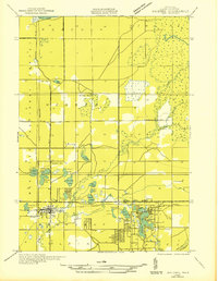
The Muskegon River valley serves as the central artery for this mid-Michigan region, where the city of Big Rapids anchors a landscape defined by timber history and reforestation. Large tracts of the Pere Marquette State Forest and the Manistee National Forest dominate the western and northern quadrants, punctuated by historical settlements like Baldwin and the landmark resort community of Idlewild. The transportation network is a primary focus, featuring the north-south corridor of Us 131 and the heavy rail lines of the Chesapeake and Ohio railroad which supported the area's industrial development.
Find a feature on this map
71 named features on this map. Tap any name to fly to it.
Don’t see what you’re looking for? This feature index may not catch every label — zoom into the map to look around manually.
Map Details
Editions of this 1984 Big Rapids Map
This is the sole edition of this map. No revisions or reprints were ever made.
Other maps of this area
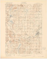
1916 · Mount Pleasant
USGS Topo · 1:62,500
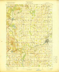
1919 · Mount Pleasant
USGS Topo · 1:62,500
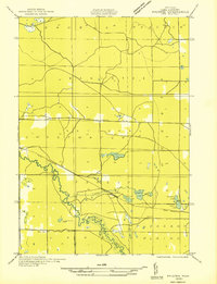
1931 · Baldwin NW
USGS Topo · 1:31,680

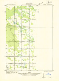
1931 · Custer NE
USGS Topo · 1:31,680
1931 · Chase NE
USGS Topo · 1:31,680

1931 · Walkerville NE
USGS Topo · 1:31,680
1931 · Baldwin NE
USGS Topo · 1:31,680

1931 · Custer SE
USGS Topo · 1:31,680

1931 · Walkerville SE
USGS Topo · 1:31,680

1932 · Freesoil SE
USGS Topo · 1:31,680