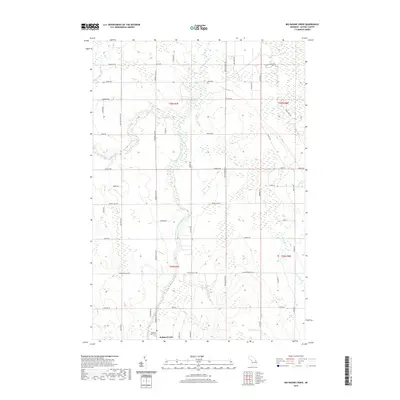
2019 Map of Big Ravine Creek
USGS Topo · Published 2019About this map
Hubbard Lake and its surrounding wetlands form the southern anchor of this Alpena County landscape, where the Lower South Branch Thunder Bay River meanders through low-lying terrain. The map details a transition from these watercourses to a network of rural roads, many bearing family names that speak to the area's agricultural and timber history, such as Kowalski Rd, Heussner Rd, and Brilinski Rd. The interior is defined by numerous drainage systems including Wolf Creek, Big Ravine Creek, and Berlinski Creek, which together illustrate the complex hydrography of the Thunder Bay watershed.
Find a feature on this map
59 named features on this map. Tap any name to fly to it.
Don’t see what you’re looking for? This feature index may not catch every label — zoom into the map to look around manually.
Map Details
Editions of this 2019 Big Ravine Creek Map
This is the sole edition of this map. No revisions or reprints were ever made.
Other maps of this area

1954 · Tawas City
USGS Topo · 1:250,000

1954 · Alpena
USGS Topo · 1:250,000

1957 · Alpena
USGS Topo · 1:250,000

1958 · Alpena
USGS Topo · 1:250,000

1958 · Tawas City
USGS Topo · 1:250,000

1969 · Alpena
USGS Topo · 1:250,000

1971 · Lake Winyah
USGS Topo · 1:24,000

1971 · Alpena
USGS Topo · 1:24,000

1971 · Spruce
USGS Topo · 1:24,000

1971 · Lachine
USGS Topo · 1:24,000