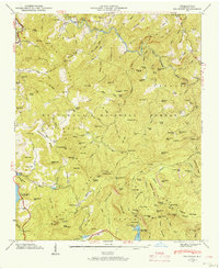
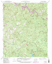
1946 Map of Big Ridge
USGS Topo · Published 1957About this map
Nantahala National Forest covers much of this high-elevation landscape in Jackson County, where the headwaters of the Tuckasegee River carve through a complex network of peaks and ridges. The 1946 field examination by the Tennessee Valley Authority records a rural landscape defined by narrow valleys and steep summits like Lizzie Mountain and Henderson Mtn. While much of the area is forested, human footprints appear at the Indian Place and the Rock Bridge Sch, which served families along the upper creeks. Water is the central theme of this terrain, from the Onion Cliff Falls to the artificial reservoir of Glenville Lake, which sits at an elevation of 3,492 feet. The map highlights the transition between the high Blue Ridge Divide and the river basins below, capturing the location of local landmarks like the Big Ridge Ch and Merrie Woode Camp before mid-century changes.
Find a feature on this map
130 named features on this map. Tap any name to fly to it.
Don’t see what you’re looking for? This feature index may not catch every label — zoom into the map to look around manually.
Map Details
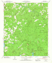
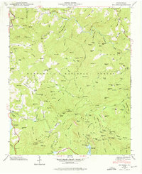
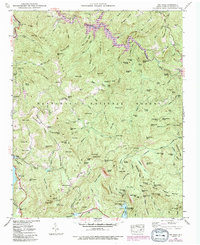
Editions of this 1946 Big Ridge Map
5 editions found
Other maps of this area

1891 · Cowee
USGS Topo · 1:125,000

1897 · Cowee
USGS Topo · 1:125,000

1905 · Pisgah
USGS Topo · 1:125,000

1906 · Pisgah
USGS Topo · 1:125,000

1907 · Cowee
USGS Topo · 1:125,000

1935 · Sam Knob
USGS Topo · 1:24,000

1935 · Cashiers
USGS Topo · 1:24,000

1935 · Tuckaseigee
USGS Topo · 1:24,000

1935 · Lake Toxaway
USGS Topo · 1:24,000

1935 · Reid
USGS Topo · 1:24,000