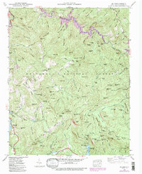
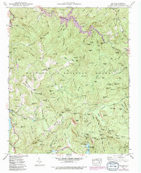
1946 Map of Big Ridge
USGS Topo · Published 1992About this map
Nantahala National Forest covers much of this high-elevation landscape in Jackson County, where the steep topography of the Blue Ridge is defined by a series of prominent divides and river systems. The Tuckasegee River flows through the northern reaches, feeding into Cedar Cliff Lake and Bear Creek Lake. This mid-century survey captures the region's hydroelectric and recreational development, featuring numerous mountain reservoirs such as Thorpe Lake, Wolf Creek Lake, and Fairfield Lake. Local social centers are anchored by the Big Ridge Ch and the Rock Bridge Sch, while Merrie Woode Camp sits at the southern edge near the Horsepasture River. The terrain is marked by dozens of named peaks and gaps, including Big Ridge and Hickory Mountain, illustrating the difficult travel routes through Windy Gap and Horse Stamp Gap that shaped early settlement patterns.
Find a feature on this map
98 named features on this map. Tap any name to fly to it.
Don’t see what you’re looking for? This feature index may not catch every label — zoom into the map to look around manually.
Map Details
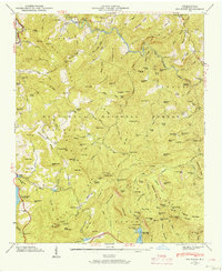
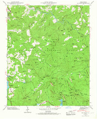
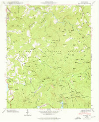
Editions of this 1946 Big Ridge Map
5 editions found
Other maps of this area

1891 · Cowee
USGS Topo · 1:125,000

1897 · Cowee
USGS Topo · 1:125,000

1905 · Pisgah
USGS Topo · 1:125,000

1906 · Pisgah
USGS Topo · 1:125,000

1907 · Cowee
USGS Topo · 1:125,000

1935 · Sam Knob
USGS Topo · 1:24,000

1935 · Cashiers
USGS Topo · 1:24,000

1935 · Tuckaseigee
USGS Topo · 1:24,000

1935 · Lake Toxaway
USGS Topo · 1:24,000

1935 · Reid
USGS Topo · 1:24,000