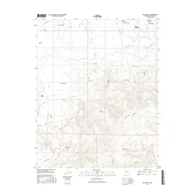
2017 Map of Big Rock Hill
USGS Topo · Published 2017About this map
Brimhall Nizhoni and Twin Lakes anchor this high-desert landscape in the late 2010s, where the topography transitions from the broad Tohatchi Flats to prominent elevations like Big Rock Hill. This area of the Fort Defiance Agency is marked by a complex network of seasonal drainage and water sources, including Figuredo Wash and Dye Brush Wash, which cut through the terrain toward Bass Lake. The presence of Coal Mine Hill and Coal Mine Spring suggest the importance of local resources, while multiple springs such as Sheep Spring and Tohasjed Spring indicate vital water points in an arid environment. A dense grid of service roads, including Navajo Svc Rte 37 and Indian Svc Rte 371, reflects the modern infrastructure connecting these residential and grazing lands across the varied relief of Grey Ridge Canyon and Window Rock Canyon.
Find a feature on this map
39 named features on this map. Tap any name to fly to it.
Don’t see what you’re looking for? This feature index may not catch every label — zoom into the map to look around manually.
Map Details
Editions of this 2017 Big Rock Hill Map
This is the sole edition of this map. No revisions or reprints were ever made.
Other maps of this area

1886 · Wingate
USGS Topo · 1:250,000

1892 · Wingate
USGS Topo · 1:250,000

1954 · Gallup
USGS Topo · 1:250,000

1955 · Tohatchi
USGS Topo · 1:62,500

1958 · Gallup
USGS Topo · 1:250,000

1959 · Gallup
USGS Topo · 1:250,000

1962 · Gallup
USGS Topo · 1:250,000

1963 · Twin Lakes
USGS Topo · 1:24,000

1963 · Big Rock Hill
USGS Topo · 1:24,000

1963 · Gallup West
USGS Topo · 1:24,000