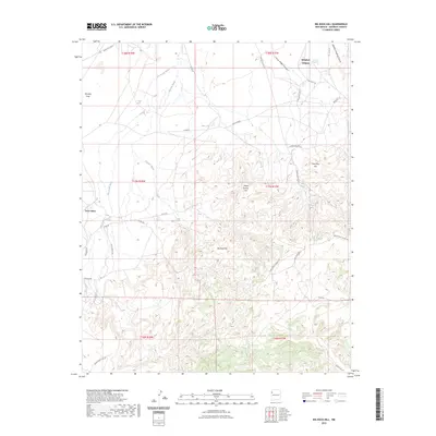
2023 Map of Big Rock Hill
USGS Topo · Published 2023About this map
Brimhall Nizhoni serves as a primary point of settlement in this high desert landscape, situated at the intersection of a complex network of Service Routes and local roads. The terrain is characterized by dramatic elevation changes, moving from the open Tohatchi Flats in the west toward prominent landmarks like Big Rock Hill and Sheep Spring Hill. This contemporary survey highlights the essential role of water in McKinley County, mapping the seasonal drainage patterns of Figuredo Wash and Dye Brush Wash alongside permanent water sources such as Bass Lake and Tohasged Spring.
Find a feature on this map
33 named features on this map. Tap any name to fly to it.
Don’t see what you’re looking for? This feature index may not catch every label — zoom into the map to look around manually.
Map Details
Editions of this 2023 Big Rock Hill Map
This is the sole edition of this map. No revisions or reprints were ever made.
Other maps of this area

1886 · Wingate
USGS Topo · 1:250,000

1892 · Wingate
USGS Topo · 1:250,000

1954 · Gallup
USGS Topo · 1:250,000

1955 · Tohatchi
USGS Topo · 1:62,500

1958 · Gallup
USGS Topo · 1:250,000

1959 · Gallup
USGS Topo · 1:250,000

1962 · Gallup
USGS Topo · 1:250,000

1963 · Twin Lakes
USGS Topo · 1:24,000

1963 · Big Rock Hill
USGS Topo · 1:24,000

1963 · Gallup West
USGS Topo · 1:24,000