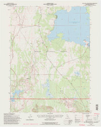
1993 Map of Big Sage Reservoir
USGS Topo · Published 1996About this map
Modoc National Forest dominates this high-altitude landscape, centered on the expansive waters of Big Sage Reservoir. The map reveals a complex water management system within the arid terrain, featuring Big Sage Dam and several smaller catchments like Kelley Reservoir and Essex Reservoir. To the south, the Devils Garden Conservation Camp sits near the headwaters of West Rock Creek, while the western edge is defined by the sharp drop-off of Porcupine Rim overlooking Porcupine Valley. The presence of several stock ponds and named springs like Mill Springs underscores the area's importance for livestock and resource management. The terrain is further characterized by dramatic features such as Whittemore Ridge and the deep cut of Salisbury Gulch, illustrating the transition from volcanic plateaus to riparian basins.
Find a feature on this map
30 named features on this map. Tap any name to fly to it.
Don’t see what you’re looking for? This feature index may not catch every label — zoom into the map to look around manually.
Map Details
Editions of this 1993 Big Sage Reservoir Map
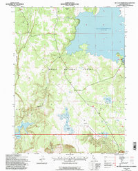
2 editions found
Other maps of this area

1886 · Alturas
USGS Topo · 1:250,000

1892 · Alturas
USGS Topo · 1:250,000

1954 · Alturas
USGS Topo · 1:250,000

1958 · Alturas
USGS Topo · 1:250,000

1961 · Canby
USGS Topo · 1:62,500

1961 · Alturas
USGS Topo · 1:62,500

1962 · Alturas
USGS Topo · 1:250,000

1962 · Big Sage Reservoir
USGS Topo · 1:62,500

1962 · Jacks Butte
USGS Topo · 1:62,500

1965 · Alturas
USGS Topo · 1:250,000