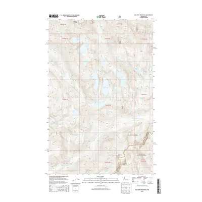
2014 Map of Big Snow Mountain
USGS Topo · Published 2014About this map
Big Snow Mtn dominates the western half of this alpine landscape, where high-elevation drainage systems feed the Middle Fork Snoqualmie River and the W Fork Foss River. The terrain is characterized by massive rock formations such as Chimney Rock and Overcoat Peak, bordering the boundary between the Snoqualmie National Forest and Wenatchee National Forest. This 2014 survey reveals a dense concentration of glacial basins, including the Necklace Valley Lakes and large bodies of water like Big Heart Lake and Angeline Lake. The sheer verticality of the region is evidenced by features like Malachite Falls, which drops from the peaks near Malachite Lake. This map serves as a primary source for the complex hydrography and glaciated topography that define the high Cascades on the border of King and Kittitas counties.
Find a feature on this map
65 named features on this map. Tap any name to fly to it.
Don’t see what you’re looking for? This feature index may not catch every label — zoom into the map to look around manually.
Map Details
Editions of this 2014 Big Snow Mountain Map
This is the sole edition of this map. No revisions or reprints were ever made.
Other maps of this area

1901 · Snoqualmie Pass
USGS Topo · 1:125,000

1902 · Skykomish
USGS Topo · 1:125,000

1903 · Snoqualmie
USGS Topo · 1:125,000

1905 · Skykomish
USGS Topo · 1:125,000

1957 · Wenatchee
USGS Topo · 1:250,000

1961 · Snoqualmie Pass
USGS Topo · 1:62,500

1961 · Kachess Lake
USGS Topo · 1:62,500

1965 · Grotto
USGS Topo · 1:24,000

1965 · Mount Daniel
USGS Topo · 1:24,000

1965 · Skykomish
USGS Topo · 1:24,000