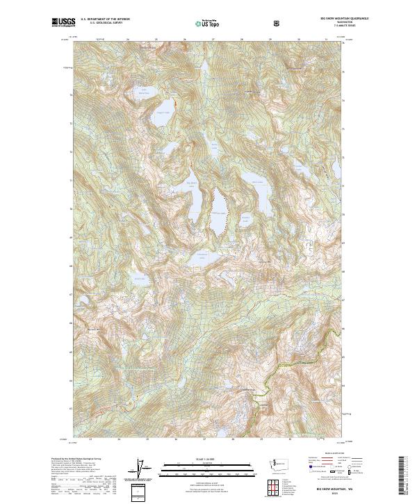
2023 Map of Big Snow Mountain
USGS Topo · Published 2023About this map
Big Snow Mtn dominates this high-altitude landscape along the border of King and Kittitas counties. The area is defined by a dense concentration of alpine water bodies, ranging from the large Angeline Lake and Lake Malachite to smaller tarns like Jewel Lake and Locket Lake. These features are preserved within the Alpine Lakes Wilderness, a region that relies on a network of established paths rather than roads for access.
Find a feature on this map
67 named features on this map. Tap any name to fly to it.
Don’t see what you’re looking for? This feature index may not catch every label — zoom into the map to look around manually.
Map Details
Editions of this 2023 Big Snow Mountain Map
This is the sole edition of this map. No revisions or reprints were ever made.
Other maps of this area

1901 · Snoqualmie Pass
USGS Topo · 1:125,000

1902 · Skykomish
USGS Topo · 1:125,000

1903 · Snoqualmie
USGS Topo · 1:125,000

1905 · Skykomish
USGS Topo · 1:125,000

1957 · Wenatchee
USGS Topo · 1:250,000

1961 · Snoqualmie Pass
USGS Topo · 1:62,500

1961 · Kachess Lake
USGS Topo · 1:62,500

1965 · Grotto
USGS Topo · 1:24,000

1965 · Mount Daniel
USGS Topo · 1:24,000

1965 · Skykomish
USGS Topo · 1:24,000