
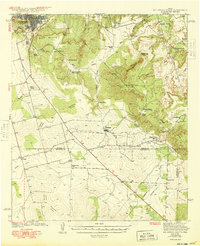
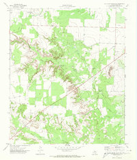
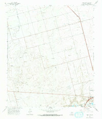
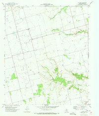
1941 Map of Big Spring South
USGS Topo · Published 1949This historical map portrays the area of Big Spring South in 1941, primarily covering Howard County as well as portions of Sterling County and Glasscock County. Featuring a scale of 1:62500, this map provides a highly detailed snapshot of the terrain, roads, buildings, counties, and historical landmarks in the Big Spring South region at the time. Published in 1949, it is one of 2 known editions of this map due to revisions or reprints.
Find a feature on this map
40 named features on this map. Tap any name to fly to it.
Don’t see what you’re looking for? This feature index may not catch every label — zoom into the map to look around manually.
Map Details
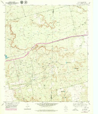
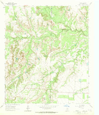
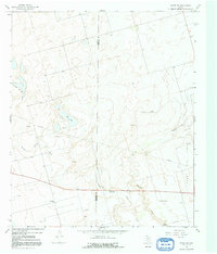
Editions of this 1941 Big Spring South Map
2 editions found
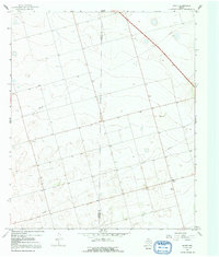
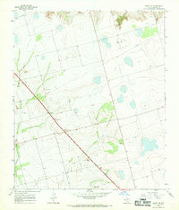
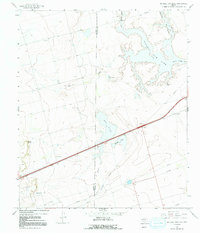
Historical Maps of Forsan Through Time
22 maps found
1941 Big Spring South
Howard County, TX

1941 Morita
Howard County, TX

1942 Big Spring North
Howard County, TX

1942 Big Spring South
Howard County, TX

1949 Morita
Howard County, TX
1951 Iatan
Howard County, TX
1951 Vincent
Howard County, TX
1952 Iatan
Howard County, TX

1954 Big Spring North
Howard County, TX
1954 Big Spring North NE
Howard County, TX
1963 Hyman
Howard County, TX

1965 Big Spring North
Howard County, TX

1966 Elbow
Howard County, TX
1966 Knott
Howard County, TX
1966 Knott NE
Howard County, TX
1966 Knott SE
Howard County, TX
1966 Knott SW
Howard County, TX
1966 Natural Dam Lake
Howard County, TX

1971 Big Spring North
Howard County, TX
1971 Big Spring South
Howard County, TX
1971 Luther
Howard County, TX
1971 Moss Creek Lake
Howard County, TX