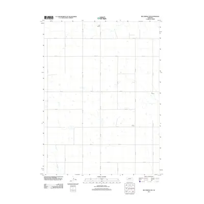
2011 Map of Big Springs NW
USGS Topo · Published 2011About this map
Ash Hollow defines the northern reaches of this Deuel County landscape, where the terrain breaks toward the North Platte River valley just beyond the map's edge. The area is characterized by a high-plains sectioning system, with an extensive network of numbered section-line roads such as Road 34 and Road 201 carving the agricultural expanse into a precise grid. The ephemeral drainage of Dry Creek threads through the southwest, marking one of the few natural breaks in the upland plateau.
Find a feature on this map
18 named features on this map. Tap any name to fly to it.
Don’t see what you’re looking for? This feature index may not catch every label — zoom into the map to look around manually.
Map Details
Editions of this 2011 Big Springs NW Map
This is the sole edition of this map. No revisions or reprints were ever made.
Other maps of this area

1900 · Chappell
USGS Topo · 1:125,000

1954 · Scottsbluff
USGS Topo · 1:250,000

1958 · Scottsbluff
USGS Topo · 1:250,000

1961 · Barton
USGS Topo · 1:24,000

1961 · Big Springs
USGS Topo · 1:24,000

1961 · Chappell SE
USGS Topo · 1:24,000
1971 · Big Springs NE
USGS Topo · 1:24,000
1971 · Ruthton
USGS Topo · 1:24,000

1971 · Barn Butte
USGS Topo · 1:24,000

1971 · Chappell NE
USGS Topo · 1:24,000