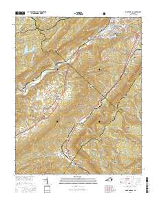
2016 Map of Big Stone Gap
USGS Topo · Published 2016About this map
Big Stone Gap serves as the focal point of this southwestern Virginia survey, where the South Fork Powell River and the N Fork Powell River converge at the foot of Stone Mountain. The landscape is a complex network of narrow valleys and ridges, including Wallen Ridge and Powell Mtn, largely contained within the Jefferson National Forest. This era of the region’s geography highlights the transition from the concentrated urban streets of the town, home to the Mtn Empire Community Coll, to the dispersed rural settlements of Olinger, Turkey, and Jasper.
Find a feature on this map
122 named features on this map. Tap any name to fly to it.
Don’t see what you’re looking for? This feature index may not catch every label — zoom into the map to look around manually.
Map Details
Editions of this 2016 Big Stone Gap Map
This is the sole edition of this map. No revisions or reprints were ever made.
Other maps of this area

1894 · Estillville
USGS Topo · 1:125,000

1920 · Wise
USGS Topo · 1:48,000

1921 · Big Stone Gap
USGS Topo · 1:48,000

1921 · Wise
USGS Topo · 1:62,500

1922 · Big Stone Gap
USGS Topo · 1:62,500

1929 · Big Stone Gap
USGS Topo · 1:62,500

1935 · Moggasin
USGS Topo · 1:48,000
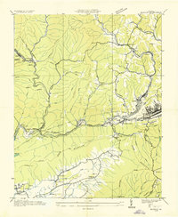
1935 · Norton
USGS Topo · 1:24,000
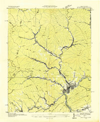
1935 · Appalachia
USGS Topo · 1:24,000

1935 · East Stone Gap
USGS Topo · 1:24,000