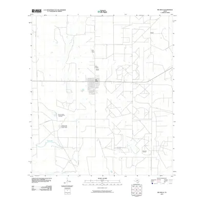
2010 Map of Big Wells
USGS Topo · Published 2010About this map
Big Wells sits at the heart of this Dimmit County landscape, where the grid of the town site meets a network of ranch roads and water management features. The area's reliance on water and industry is evident through the presence of the Big Wells Oil Field and various stock tanks and impoundments, such as the Bowmen Cattle Company Number 1 Lake Dam and the Martindale Tank Dam. These structures manage the drainage of seasonal waterways like Sauz Mocho Creek and Arroyo Negro before they reach the southern boundary at the Nueces River.
Find a feature on this map
28 named features on this map. Tap any name to fly to it.
Don’t see what you’re looking for? This feature index may not catch every label — zoom into the map to look around manually.
Map Details
Editions of this 2010 Big Wells Map
This is the sole edition of this map. No revisions or reprints were ever made.
Other maps of this area

1925 · San Roque Lake 1-a
USGS Topo · 1:48,000

1927 · Bart
USGS Topo · 1:62,500

1929 · Cotulla
USGS Topo · 1:125,000

1932 · Valley Wells
USGS Topo · 1:62,500

1939 · Big Wells
USGS Topo · 1:62,500

1940 · Catarina
USGS Topo · 1:62,500

1940 · Artesia Wells
USGS Topo · 1:62,500

1953 · Crystal City
USGS Topo · 1:250,000

1955 · Crystal City
USGS Topo · 1:250,000

1956 · Woodward
USGS Topo · 1:62,500