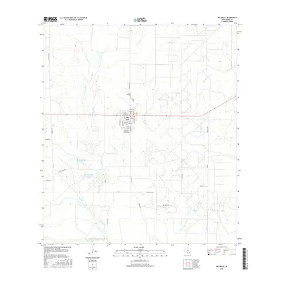
2016 Map of Big Wells
USGS Topo · Published 2016About this map
The town of Big Wells serves as the focal point of this Dimmit County landscape, situated where the grid of the high plains meets a network of intermittent creeks and ranching operations. Just north of the town center lie Saint Michaels Cem and Big Wells Cem, providing important points of reference for local genealogy. The surrounding terrain is defined by its water management, featuring names like Martindale Tank and the storage reservoirs of the Bowmen Cattle Company Lake Number 1 and Bowmen Cattle Company Lake Number 2.
Find a feature on this map
52 named features on this map. Tap any name to fly to it.
Don’t see what you’re looking for? This feature index may not catch every label — zoom into the map to look around manually.
Map Details
Editions of this 2016 Big Wells Map
This is the sole edition of this map. No revisions or reprints were ever made.
Other maps of this area

1925 · San Roque Lake 1-a
USGS Topo · 1:48,000

1927 · Bart
USGS Topo · 1:62,500

1929 · Cotulla
USGS Topo · 1:125,000

1932 · Valley Wells
USGS Topo · 1:62,500

1939 · Big Wells
USGS Topo · 1:62,500

1940 · Catarina
USGS Topo · 1:62,500

1940 · Artesia Wells
USGS Topo · 1:62,500

1953 · Crystal City
USGS Topo · 1:250,000

1955 · Crystal City
USGS Topo · 1:250,000

1956 · Woodward
USGS Topo · 1:62,500