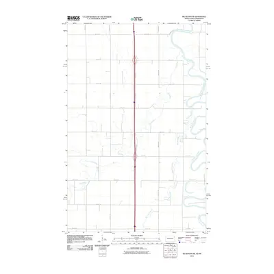
2011 Map of Big Woods SW
USGS Topo · Published 2011About this map
The Red River of the North defines the eastern edge of this agricultural landscape in Walsh County, where the meandering waterway creates a complex boundary between North Dakota and Minnesota. The terrain is characterized by the convergence of smaller tributaries, including the Forest River and the North Marais River, which wind through a rigid grid of rural section roads. This 2011 survey illustrates a highly organized drainage and transport network, dominated by north-south arteries like 159th Dr NE and County Rd 2. The interplay between the natural, serpentine curves of the riverbanks and the straight lines of local routes such as 66th St NE highlights the intensive land management typical of the Red River Valley.
Find a feature on this map
22 named features on this map. Tap any name to fly to it.
Don’t see what you’re looking for? This feature index may not catch every label — zoom into the map to look around manually.
Map Details
Editions of this 2011 Big Woods SW Map
This is the sole edition of this map. No revisions or reprints were ever made.
Other maps of this area
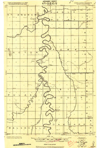
1918 · Acton
USGS Topo · 1:62,500
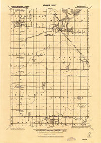
1926 · Ardoch
USGS Topo · 1:62,500
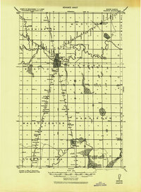
1943 · Grafton
USGS Topo · 1:62,500

1952 · Thief River Falls
USGS Topo · 1:250,000

1956 · Thief River Falls
USGS Topo · 1:250,000

1957 · Thief River Falls
USGS Topo · 1:250,000
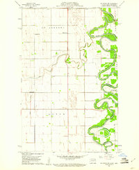
1960 · Big Woods NW
USGS Topo · 1:24,000
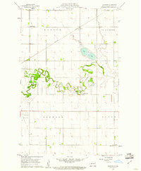
1960 · Oakwood
USGS Topo · 1:24,000
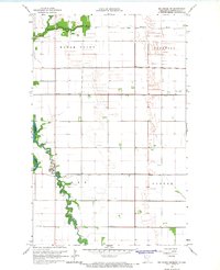
1966 · Big Woods NE
USGS Topo · 1:24,000
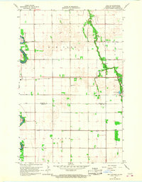
1966 · Oslo NE
USGS Topo · 1:24,000