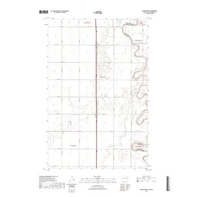
2017 Map of Big Woods SW
USGS Topo · Published 2017About this map
The Red River of the North carves a deeply meandering path along the state boundary between North Dakota and Minnesota, defining the eastern edge of this agricultural landscape. The region is characterized by a low-lying, water-rich environment where the Forest River and North Marais River wind through the flatlands of Walsh County. This 2017 survey reveals the intricate relationship between the natural drainage of the Red River Valley and the rigid township and range system that organizes the surrounding farmland. The map traces the varied oxbows and river bends that characterize this borderland, punctuated by a network of local roads such as Co Rd 4 and 58th St NE that provide access to the rural homesteads and fields. These watercourses were historically critical for the drainage and development of some of the most productive soil in the northern plains.
Find a feature on this map
27 named features on this map. Tap any name to fly to it.
Don’t see what you’re looking for? This feature index may not catch every label — zoom into the map to look around manually.
Map Details
Editions of this 2017 Big Woods SW Map
This is the sole edition of this map. No revisions or reprints were ever made.
Other maps of this area
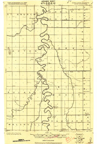
1918 · Acton
USGS Topo · 1:62,500
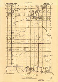
1926 · Ardoch
USGS Topo · 1:62,500
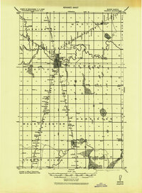
1943 · Grafton
USGS Topo · 1:62,500

1952 · Thief River Falls
USGS Topo · 1:250,000

1956 · Thief River Falls
USGS Topo · 1:250,000

1957 · Thief River Falls
USGS Topo · 1:250,000
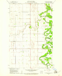
1960 · Big Woods NW
USGS Topo · 1:24,000
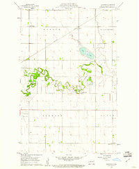
1960 · Oakwood
USGS Topo · 1:24,000
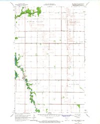
1966 · Big Woods NE
USGS Topo · 1:24,000
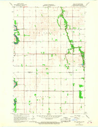
1966 · Oslo NE
USGS Topo · 1:24,000