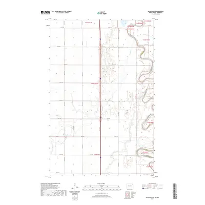
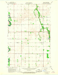
2020 Map of Big Woods SW
USGS Topo · Published 2020About this map
The Red River of the North defines the eastern boundary of this region, its tight oxbows and meanders carving a complex path between Walsh County, North Dakota, and Marshall County, Minnesota. This riparian landscape is a network of water and drainage, where the Forest River and Marais River converge toward the larger basin. The terrain is characterized by the systematic grid of the Public Land Survey System, with section lines marked by rural routes such as Co Rd 4 and 60th St NE. The interplay between the rigid township boundaries, like t156n r51w, and the fluid, shifting banks of the Red River illustrates the historical challenge of managing the fertile but flood-prone lands of the Red River Valley.
Find a feature on this map
26 named features on this map. Tap any name to fly to it.
Don’t see what you’re looking for? This feature index may not catch every label — zoom into the map to look around manually.
Map Details
Editions of this 2020 Big Woods SW Map
This is the sole edition of this map. No revisions or reprints were ever made.
Other maps of this area

1918 · Acton
USGS Topo · 1:62,500

1926 · Ardoch
USGS Topo · 1:62,500

1943 · Grafton
USGS Topo · 1:62,500

1952 · Thief River Falls
USGS Topo · 1:250,000

1956 · Thief River Falls
USGS Topo · 1:250,000

1957 · Thief River Falls
USGS Topo · 1:250,000
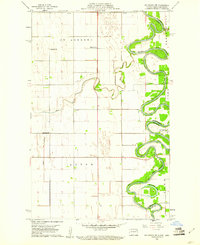
1960 · Big Woods NW
USGS Topo · 1:24,000
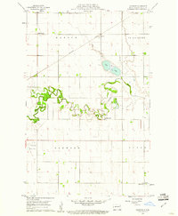
1960 · Oakwood
USGS Topo · 1:24,000
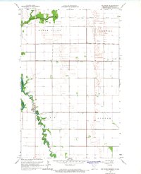
1966 · Big Woods NE
USGS Topo · 1:24,000
1966 · Oslo NE
USGS Topo · 1:24,000