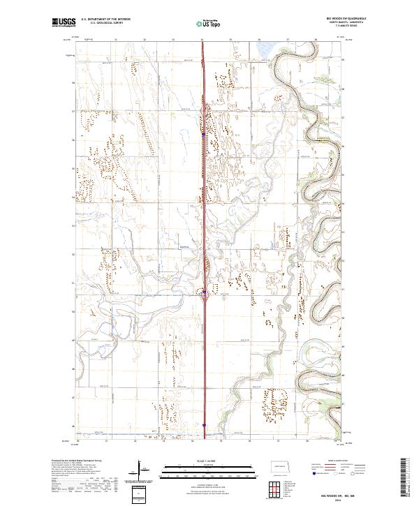
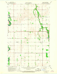
2024 Map of Big Woods SW
USGS Topo · Published 2024About this map
The Red River of the North winds through this borderland region, marking the physical boundary between Minnesota and North Dakota. This map illustrates the intricate hydrological landscape of the Red River Valley, where the meandering Forest River and North Marais River cut across a grid of section roads and rural intersections. The terrain is defined by its low relief and an extensive network of wetlands and oxbows, particularly along the eastern edge of Marshall and Walsh Counties. A dense system of local corridors, including 159th Drive NE and 60th Street NE, provides access to the agricultural parcels that dominate the region's economy. The interplay between the natural, serpentine river paths and the rigid township and range system highlights the geographic character of this fertile northern plains area.
Find a feature on this map
34 named features on this map. Tap any name to fly to it.
Don’t see what you’re looking for? This feature index may not catch every label — zoom into the map to look around manually.
Map Details
Editions of this 2024 Big Woods SW Map
This is the sole edition of this map. No revisions or reprints were ever made.
Other maps of this area

1918 · Acton
USGS Topo · 1:62,500

1926 · Ardoch
USGS Topo · 1:62,500

1943 · Grafton
USGS Topo · 1:62,500

1952 · Thief River Falls
USGS Topo · 1:250,000

1956 · Thief River Falls
USGS Topo · 1:250,000

1957 · Thief River Falls
USGS Topo · 1:250,000
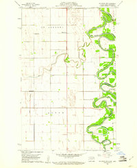
1960 · Big Woods NW
USGS Topo · 1:24,000
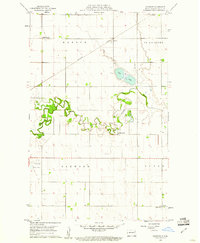
1960 · Oakwood
USGS Topo · 1:24,000
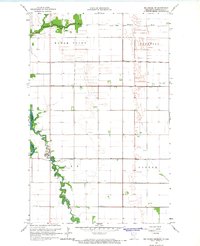
1966 · Big Woods NE
USGS Topo · 1:24,000
1966 · Oslo NE
USGS Topo · 1:24,000