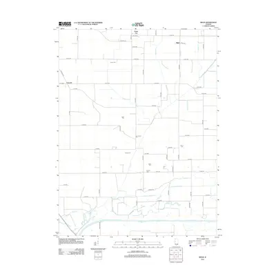
2012 Map of Biggs
USGS Topo · Published 2012About this map
Chaney Cem, Baker Cem, and Sear's Cem anchor this landscape of rural Mason County, reflecting the deep-rooted family history of the Illinois River valley. The terrain is defined by a sophisticated water-management system essential to Central Illinois agriculture, featuring the Herget Drainage Ditch and a network of arterial channels including Biggs Ditch and Newton DITCH. Small settlements like Poplar City and Biggs are situated among a rectilinear grid of county roads, while the southern edge is shaped by the meandering Sangamon River and its associated wetlands like Perry Slough. This modern survey documents the continued reliance on drainage engineering to maintain the productivity of the prairie, showing how modern infrastructure overlays the historic distribution of cemeteries and unincorporated communities like Peterville.
Find a feature on this map
65 named features on this map. Tap any name to fly to it.
Don’t see what you’re looking for? This feature index may not catch every label — zoom into the map to look around manually.
Map Details
Editions of this 2012 Biggs Map
This is the sole edition of this map. No revisions or reprints were ever made.
Other maps of this area

1925 · Havana
USGS Topo · 1:62,500

1929 · Manito
USGS Topo · 1:62,500

1930 · Chandlerville
USGS Topo · 1:62,500

1932 · Chandlerville
USGS Topo · 1:62,500

1932 · Manito
USGS Topo · 1:62,500

1933 · Petersburg
USGS Topo · 1:62,500

1938 · Petersburg
USGS Topo · 1:62,500

1947 · Havana
USGS Topo · 1:24,000
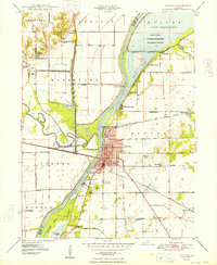
1948 · Havana
USGS Topo · 1:24,000
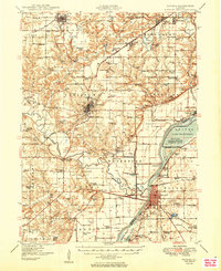
1949 · Havana
USGS Topo · 1:62,500