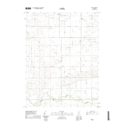
2021 Map of Biggs
USGS Topo · Published 2021About this map
The Sangamon River defines the southern boundary of this central Illinois landscape, where it meets the Mason Co and Menard Co line. North of the river, a sophisticated network of agricultural drainage channels, such as Biggs Ditch, Newton Ditch, and Tomlin Ditch, has been engineered to manage the low-lying prairie terrain. These artificial waterways cut through a region marked by natural features like Perry Slough and Wash Lake Slough, illustrating the long-term human effort to reclaim the land for farming.
Find a feature on this map
35 named features on this map. Tap any name to fly to it.
Don’t see what you’re looking for? This feature index may not catch every label — zoom into the map to look around manually.
Map Details
Editions of this 2021 Biggs Map
This is the sole edition of this map. No revisions or reprints were ever made.
Other maps of this area

1925 · Havana
USGS Topo · 1:62,500

1929 · Manito
USGS Topo · 1:62,500

1930 · Chandlerville
USGS Topo · 1:62,500

1932 · Chandlerville
USGS Topo · 1:62,500

1932 · Manito
USGS Topo · 1:62,500

1933 · Petersburg
USGS Topo · 1:62,500

1938 · Petersburg
USGS Topo · 1:62,500

1947 · Havana
USGS Topo · 1:24,000
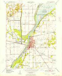
1948 · Havana
USGS Topo · 1:24,000
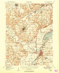
1949 · Havana
USGS Topo · 1:62,500