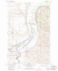
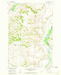
1960 Map of Bighorn
USGS Topo · Published 1986About this map
The confluence of the Yellowstone River and the Bighorn River defines the geography of this 1960 survey, a landscape deeply marked by its river-bottom agriculture and early frontier history. The Yellowstone Co Treasure Co boundary cuts across the terrain, where the historic Ft Pease (Site) sits at the northern edge of Pease Bottom. This site, once a precarious trading post in the 1870s, overlooks the broad river valley and the complex network of irrigation through Rancher Ditch.
Find a feature on this map
30 named features on this map. Tap any name to fly to it.
Don’t see what you’re looking for? This feature index may not catch every label — zoom into the map to look around manually.
Map Details
Editions of this 1960 Bighorn Map
5 editions found
Other maps of this area

1954 · Forsyth
USGS Topo · 1:250,000

1957 · Forsyth
USGS Topo · 1:250,000

1958 · Forsyth
USGS Topo · 1:250,000

1960 · Bighorn
USGS Topo · 1:24,000

1960 · Custer
USGS Topo · 1:24,000

1960 · Myers
USGS Topo · 1:24,000

1960 · Rancher Cemetery
USGS Topo · 1:24,000

1960 · Marsh Coulee
USGS Topo · 1:24,000
1960 · Mission Creek
USGS Topo · 1:24,000

1960 · Eldering Ranch
USGS Topo · 1:24,000