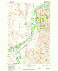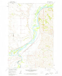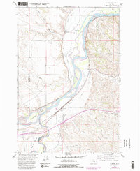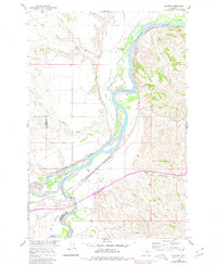
1960 Map of Bighorn
USGS Topo · Published 1980This historical map portrays the area of Bighorn in 1960, primarily covering Treasure County as well as portions of Yellowstone County. Featuring a scale of 1:24000, this map provides a highly detailed snapshot of the terrain, roads, buildings, counties, and historical landmarks in the Bighorn region at the time. Published in 1980, it is one of 5 known editions of this map due to revisions or reprints.
Map Details
Editions of this 1960 Bighorn Map
5 editions found
Historical Maps of Treasure County Through Time
18 maps found
1960 Ahles
Treasure County, MT
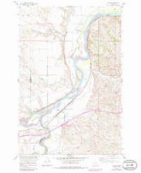
1960 Bighorn
Treasure County, MT
1960 Eldering Ranch
Treasure County, MT
1960 Hope Ranch
Treasure County, MT
1960 Marsh Coulee
Treasure County, MT
1960 Mc Konkey Creek
Treasure County, MT
1960 Myers
Treasure County, MT
1960 Rancher Cemetery
Treasure County, MT
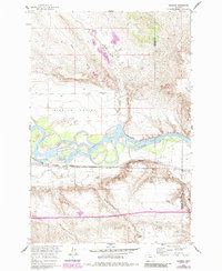
1960 Sanders
Treasure County, MT
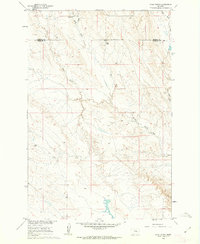
1960 Steie Ranch
Treasure County, MT
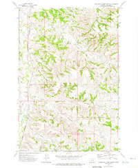
1972 Minnehaha Creek North
Treasure County, MT
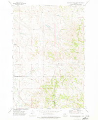
1972 Minnehaha Creek South
Treasure County, MT
1972 Scraper Coulee
Treasure County, MT
1972 South Bear Creek
Treasure County, MT
1972 Woods Water
Treasure County, MT
1979 Devils Kitchen
Treasure County, MT
1980 Ruskosky Ridge
Treasure County, MT
1980 Weed Creek East
Treasure County, MT
